15 posts found
Urban Heat Islands: How Geospatial Open Data Can Make Our Cities More Resilient
Cities account for more than two-thirds of Europe's population and consume around 80% of energy. In this context, climate change is having a particularly severe impact on urban environments, not only because of their density, but also because of their construction characteristics, their energy metab…

Geospatial intelligence and satellite data in defence: the strategic role of open data in Spain
In an increasingly interconnected and complex world, geospatial intelligence (GEOINT) has become an essential tool for defence and security decision-making . The ability to collect, analyse and interpret geospatial data enables armed forces and security agencies to better understand the operational…

Satellite Data Analysis: A Window on the World from Space - Application in Fisheries Monitoring and Management
Satellite data has become a fundamental tool for understanding and monitoring our planet from a unique perspective. This data, collected by satellites in orbit around the Earth, provides a global and detailed view of various terrestrial, maritime and atmospheric phenomena that have applications in m…

Building footprints: open data that saves lives in emergencies
In a world increasingly exposed to natural hazards and humanitarian crises, accurate and up-to-date geospatial data can make the difference between effective response and delayed reaction. The building footprints, i.e. the contours of buildings as they appear on the ground, are one of the most valua…

How Copernicus geospatial data drives innovation in the energy sector
Geospatial data has driven improvements in a number of sectors, and energy is no exception. This data allows us to better understand our environment in order to promote sustainability, innovation and informed decision-making.
One of the main providers of open geospatial data is Copernicus, the Europ…

Exploring space from the ground: open satellite data in Europe and its applications
The value of open satellite data in Europe
Satellites have become essential tools for understanding the planet and managing resources efficiently. The European Union (EU) has developed an advanced space infrastructure with the aim of providing real-time data on the environment, navigation and meteor…

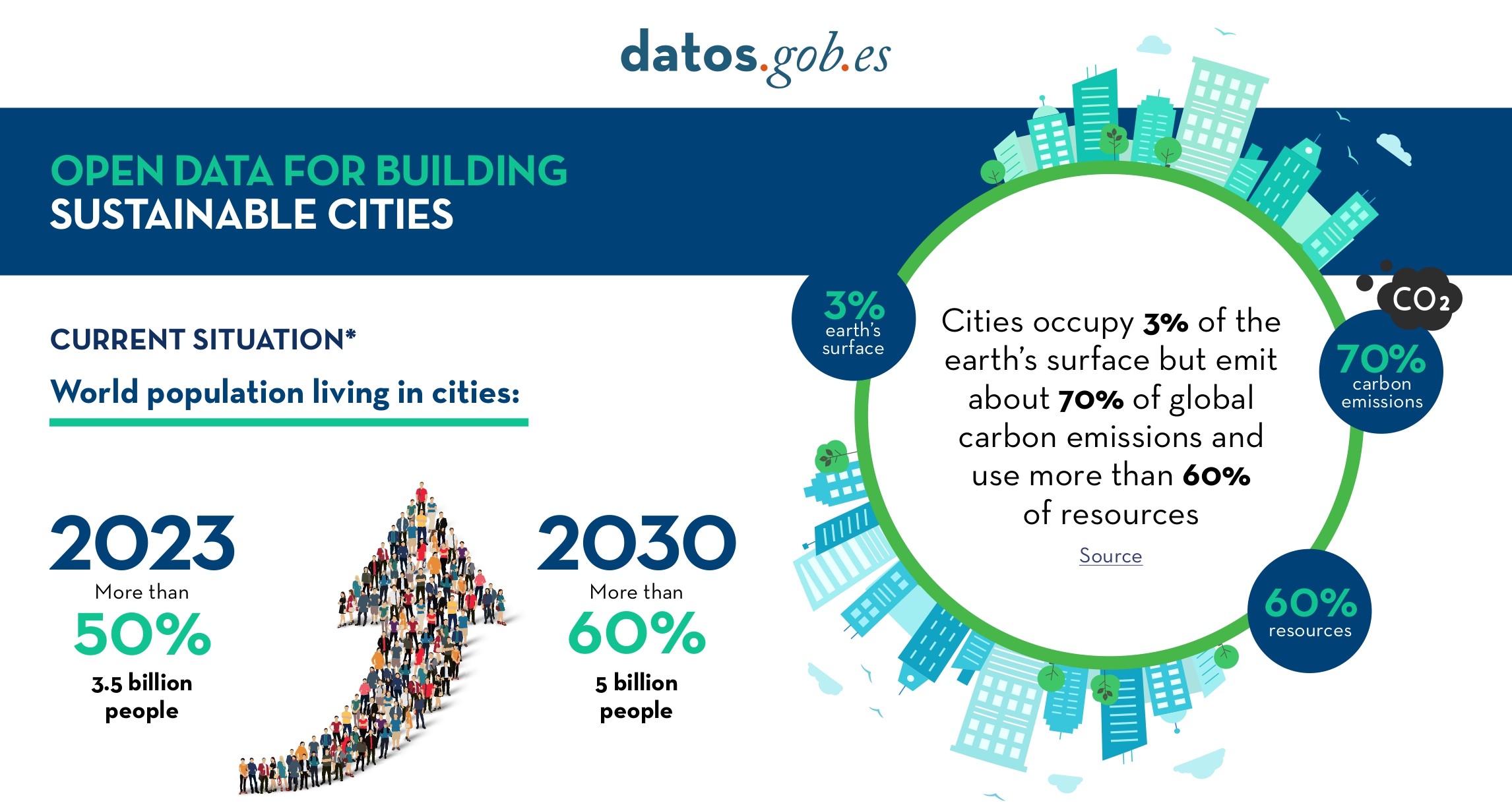
Open Data for Sustainable City Development
Open data is a valuable tool for making informed decisions that encourage the success of a process and enhance its effectiveness. From a sectorial perspective, open data provides relevant information about the legal, educational, or health sectors. All of these, along with many other areas, utilize…
Edge computing and its importance in real-time data management
Autonomous vehicles, smart waste management services, trainers that monitor how much we exercise... We live in an increasingly digital and connected environment, with greater similarities to the future we dreamed of as children. It is the so-called Internet of Things (IoT), a network of physical obj…

The benefits of publishing open mobility data in cities
Mobility is a key economic driver. Increasing the efficiency and quality of a country's mobility system contributes both to the strength of its economy and to improving the quality of life of its citizens. This is particularly important in the mobility systems of cities and their metropolitan areas,…

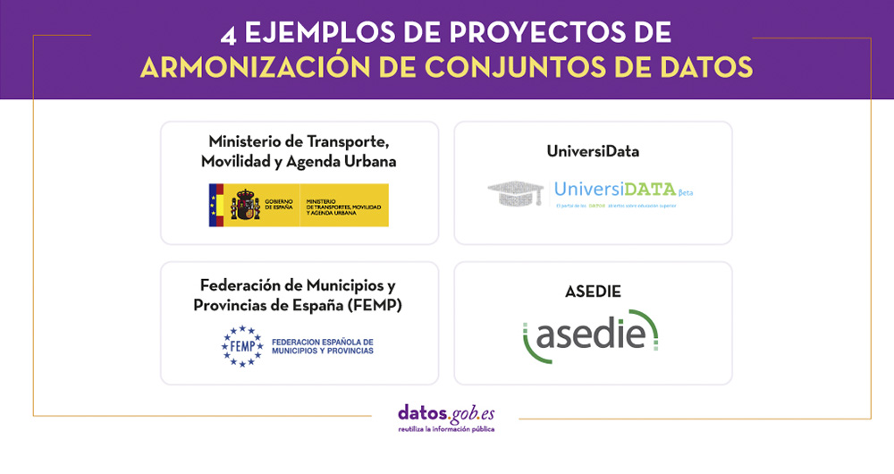
4 examples of harmonisation of datasets
In any project related to data, it is common to have different sources of information. Data is key for companies and public administrations, in decision making or as a basis for the implementation of projects, services or products. But if these data sources display information in a heterogeneous way…