14 posts found
Urban Heat Islands: How Geospatial Open Data Can Make Our Cities More Resilient
Cities account for more than two-thirds of Europe's population and consume around 80% of energy. In this context, climate change is having a particularly severe impact on urban environments, not only because of their density, but also because of their construction characteristics, their energy metab…

Geospatial intelligence and satellite data in defence: the strategic role of open data in Spain
In an increasingly interconnected and complex world, geospatial intelligence (GEOINT) has become an essential tool for defence and security decision-making . The ability to collect, analyse and interpret geospatial data enables armed forces and security agencies to better understand the operational…

OGP's assessment and challenges ahead of the forthcoming Global Summit in Spain
The international open government community is preparing for the 9th Global Summit of the Open Government Partnership (OGP), which will take place in Vitoria-Gasteiz next October.. For three days, government representatives, civil society leaders and policy makers from around the world will exchange…

Satellite Data Analysis: A Window on the World from Space - Application in Fisheries Monitoring and Management
Satellite data has become a fundamental tool for understanding and monitoring our planet from a unique perspective. This data, collected by satellites in orbit around the Earth, provides a global and detailed view of various terrestrial, maritime and atmospheric phenomena that have applications in m…

Building footprints: open data that saves lives in emergencies
In a world increasingly exposed to natural hazards and humanitarian crises, accurate and up-to-date geospatial data can make the difference between effective response and delayed reaction. The building footprints, i.e. the contours of buildings as they appear on the ground, are one of the most valua…

How Copernicus geospatial data drives innovation in the energy sector
Geospatial data has driven improvements in a number of sectors, and energy is no exception. This data allows us to better understand our environment in order to promote sustainability, innovation and informed decision-making.
One of the main providers of open geospatial data is Copernicus, the Europ…

Exploring space from the ground: open satellite data in Europe and its applications
The value of open satellite data in Europe
Satellites have become essential tools for understanding the planet and managing resources efficiently. The European Union (EU) has developed an advanced space infrastructure with the aim of providing real-time data on the environment, navigation and meteor…

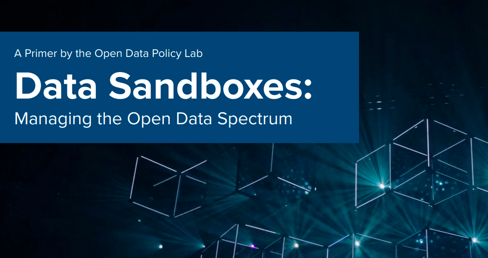
Data Sandboxes: Exploring the potential of open data in a secure environment
Data sandboxes are tools that provide us with environments to test new data-related practices and technologies, making them powerful instruments for managing and using data securely and effectively. These spaces are very useful in determining whether and under what conditions it is feasibl…
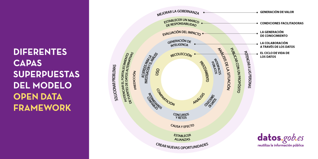
Peeling the onion of open data governance
One of the key actions that we recently highlighted as necessary to build the future of open data in our country is the implementation of processes to improve data management and governance. It is no coincidence that proper data management in our organisations is becoming an increasingly complex and…
Conclusions of the Congress on open data and reuse of public sector information
Last September, an international congress was held at the University of Alicante, which addressed some of the main challenges posed by open data and the reuse of public sector information from a legal perspective.
The inaugural conference was given by Kiko Llaneras, who made, from his own journalist…