11 posts found
Open geographic data applications of the National Centre for Geographic Information (NICHD)
The National Centre for Geographic Information publishes open geospatial data from the National Cartographic System, the National Geographic Institute and other organisations through web applications and mobile applications to facilitate access to and consultation of geographic data by citizens.
Geo…
What is the value of open geographic data?
Geographic data allow us to learn about the world around us. From locating optimal travel routes to monitoring natural ecosystems, from urban planning and development to emergency management, geographic data has great potential to drive development and efficiency in multiple economic and social area…
Data citation, a practice that favours the re-use of data
We are living in a historic moment in which data is a key asset, on which many small and large decisions of companies, public bodies, social entities and citizens depend every day. It is therefore important to know where each piece of information comes from, to ensure that the issues that affect our…
Towards an Open Government: A Guide to Transforming Public Administrations
The Open Government Guide for Public Employees is a manual to guide the staff of public administrations at all levels (local, regional and state) on the concept and conditions necessary to achieve an "inclusive open government in a digital environment". Specifically, the document seeks for the admin…
Our first digital navigation. Open source alternatives to Google Maps
In the vast technological landscape, few tools have made as deep a mark as Google Maps. Since its inception, this application has become the standard for finding and navigating points of interest on maps. But what happens when we look for options beyond the ubiquitous map application? In this post w…
Emerging Trends in Geospatial Data and AI
On September 8, the webinar \"Geospatial Trends 2023: Opportunities for data.europa.eu\" was held, organized by the Data Europa Academy and focused on emerging trends in the geospatial field. Specifically, the online conference addressed the concept of GeoAI (Geospatial Artificial Intelligence), whi…
GeoParquet 1.0.0: new format for more efficient access to spatial data
Cloud data storage is currently one of the fastest growing segments of enterprise software, which is facilitating the incorporation of a large number of new users into the field of analytics.
As we introduced in a previous post, a new format, Parquet, has among its…
Why should you use Parquet files if you process a lot of data?
It's been a long time since we first heard about the Apache Hadoop ecosystem for distributed data processing. Things have changed a lot since then, and we now use higher-level tools to build solutions based on big data payloads. However, it is important to highlight some best practices related to ou…
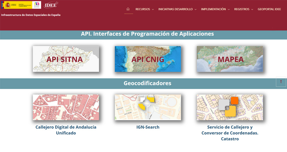
The Spatial Data Infrastructure of Spain (IDEE), a benchmark for geospatial information
Throughout history, geospatial data have allowed humankind to better understand its environment. When we talk about geographic or spatial data, we refer to data "that implicitly or explicitly refer to a location relative to the Earth", according to the Spanish Standard UNE 148004:2018. Generally, th…
Use Cases of Copernicus data in Spain
Copernicus is one of the geospatial data programmes that is most in demand and the focus of attention of various organisations, private companies and citizens. The programme is run jointly by the European Space Agency (ESA) and the European Union through the European Environment Agency, and has two…


