11 posts found
Exploring space from the ground: open satellite data in Europe and its applications
The value of open satellite data in Europe
Satellites have become essential tools for understanding the planet and managing resources efficiently. The European Union (EU) has developed an advanced space infrastructure with the aim of providing real-time data on the environment, navigation and meteor…

New geospatial data capture techniques: innovations for more efficient data governance
Geospatial data capture is essential for understanding our environment, making informed decisions and designing effective policies in areas such as urban planning, natural resource management or emergency response. In the past, this process was mainly manual and labour-intensive, based on ground mea…

PET technologies: how to use protected data in a privacy-sensitive way
As organisations seek to harness the potential of data to make decisions, innovate and improve their services, a fundamental challenge arises: how can data collection and use be balanced with respect for privacy? PET technologies attempt to address this challenge. In this post, we will explore what…

Complying with Europe. The High Value Sites of Earth Observation and Environment Regulation
The European Commission Implementing Regulation (EU) 2023/138 sets clear guidelines for public bodies on the availability of high-value datasets within 16 months from 20 January 2023. These high-value high value datasets (High value datasets or HVD) are grouped into the following themes, which were…

Legal implications of open data and re-use of public sector information for ChatGPT
The emergence of artificial intelligence (AI), and ChatGPT in particular, has become one of the main topics of debate in recent months. This tool has even eclipsed other emerging technologies that had gained prominence in a wide range of fields (legal, economic, social and cultural). This is t…

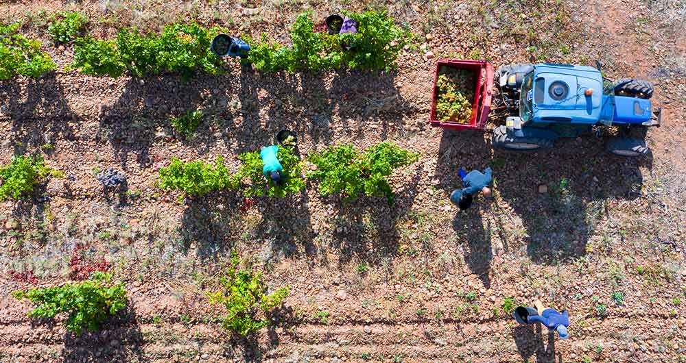
The benefits of open data in the agriculture and forestry sector: the case of Fruktia and Arbaria
As in other industries, digital transformation is helping to change the way the agriculture and forestry sector operates. Combining technologies such as geolocation or artificial intelligence and using open datasets to develop new precision tools is transforming agriculture into an increasingly tech…
Copernicus, the European Earth Observation Program
Geospatial data is one of the data categories most demanded by organizations, companies and citizens. The new European regulation on open data and reuse of public sector information considers them as high-value data, due to its ability to boost innovative services and generate socio-economic benefit…
The agroclimatic information system for irrigation (SiAR)
The data generated by the agroclimatic stations maintained by the different public administrations and integrated into the Agroclimatic Information System for Irrigation (SiAR) generate valuable open data sets for the agricultural sector. These data, combined with other open data sets, such as weath…
The transversality of open climate data
Humans have been interested in weather prediction for several millennia. This interest goes back at least until the Babylonian civilization, when meteorological predictions were already made based on astrology and the clouds patterns. However, it was in the early twentieth century when decisive prog…

Technologies that boost the precision forestry industry
The forest industry, as defined by FAO, include all economic activities that mostly depend on the production of goods and services from forests. This is an industry that, in many cases, has been seen as destructive to the environment due to its relationship with the tree felling. However, in almost…
