17 posts found
Satellite Data Analysis: A Window on the World from Space - Application in Fisheries Monitoring and Management
Satellite data has become a fundamental tool for understanding and monitoring our planet from a unique perspective. This data, collected by satellites in orbit around the Earth, provides a global and detailed view of various terrestrial, maritime and atmospheric phenomena that have applications in m…

New geospatial data capture techniques: innovations for more efficient data governance
Geospatial data capture is essential for understanding our environment, making informed decisions and designing effective policies in areas such as urban planning, natural resource management or emergency response. In the past, this process was mainly manual and labour-intensive, based on ground mea…

Citizen science projects that encourage public knowledge
Citizen science is consolidating itself as one of the most relevant sources of most relevant sources of reference in contemporary research contemporary research. This is recognised by the Centro Superior de Investigaciones Científicas (CSIC), which defines citizen science as a methodology and a mean…

High-value meteorological datasets
The cross-cutting nature of open data on weather and climate data has favoured its use in areas as diverse as precision agriculture, fire prevention or the precision forestry. But the relevance of these datasets lies not only in their direct applicability across multiple industries, but also in thei…

Complying with Europe. The Mobility High Value Datasets Regulation
Spain, as part of the European Union, is committed to the implementation of the European directives on open data and re-use of public sector information. This includes the adoption of initiatives such as the Implementing Regulation (EU) 2023/138 issued by the European Commission, whic…

Complying with Europe. The High Value Sites of Earth Observation and Environment Regulation
The European Commission Implementing Regulation (EU) 2023/138 sets clear guidelines for public bodies on the availability of high-value datasets within 16 months from 20 January 2023. These high-value high value datasets (High value datasets or HVD) are grouped into the following themes, which were…

Open geographic data applications of the National Centre for Geographic Information (NICHD)
The National Centre for Geographic Information publishes open geospatial data from the National Cartographic System, the National Geographic Institute and other organisations through web applications and mobile applications to facilitate access to and consultation of geographic data by citizens.
Geo…

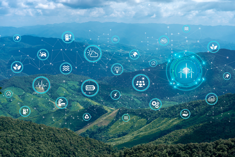
Open data to drive energy efficiency and sustainability
The promotion of energy efficiency and sustainability is one of the priorities of the European Union and Spain, as reflected in the European Green Pact. The availability of open data related to energy production, distribution and consumption allows governments, businesses and citizens to access…

The dataspace of tourism
Europe is developing a common data space for tourism, aiming to integrate various stakeholders, including local and regional authorities, the private sector, and multiple member states. Spain is among them, where several workshops have already been conducted as part of the process to energize…

Open data and climate change: essential information for a sustainable future
In recent years, climate change has become one of the most pressing challenges of our time because, according to the main reports of different international institutions, it is accelerating beyond the most pessimistic forecasts. Rising global temperatures, melting glaciers, rising sea levels and the…