15 posts found
Building footprints: open data that saves lives in emergencies
In a world increasingly exposed to natural hazards and humanitarian crises, accurate and up-to-date geospatial data can make the difference between effective response and delayed reaction. The building footprints, i.e. the contours of buildings as they appear on the ground, are one of the most valua…

Open geographic data applications of the National Centre for Geographic Information (NICHD)
The National Centre for Geographic Information publishes open geospatial data from the National Cartographic System, the National Geographic Institute and other organisations through web applications and mobile applications to facilitate access to and consultation of geographic data by citizens.
Geo…

How to measure carbon footprint using open data
The carbon footprint is a key indicator for understanding the environmental impact of our actions. It measures the amount of greenhouse gas emissions released into the atmosphere as a result of human activities, most notably the burning of fossil fuels such as oil, natural gas and coal. These gases,…

What is the value of open geographic data?
Geographic data allow us to learn about the world around us. From locating optimal travel routes to monitoring natural ecosystems, from urban planning and development to emergency management, geographic data has great potential to drive development and efficiency in multiple economic and social area…

Data policies that foster innovation
The importance of data in today's society and economy is no longer in doubt. Data is now present in virtually every aspect of our lives. This is why more and more countries have been incorporating specific data-related regulations into their policies: whether they relate to personal, busin…

Accelerating the energy transition with open data
Aspects as relevant to our society as environmental sustainability, climate change mitigation or energy security have led to the energy transition taking on a very important role in the daily lives of nations, private and public organisations, and even in our daily lives as citizens of the world. Th…

Segment Anything Model: Key Insights from Meta's Segmentation Model Applied to Spatial Data
Image segmentation is a method that divides a digital image into subgroups (segments) to reduce its complexity, thus facilitating its processing or analysis. The purpose of segmentation is to assign labels to pixels to identify objects, people, or other elements in the image.
Image segmentation is c…

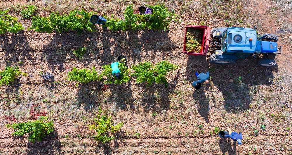
The benefits of open data in the agriculture and forestry sector: the case of Fruktia and Arbaria
As in other industries, digital transformation is helping to change the way the agriculture and forestry sector operates. Combining technologies such as geolocation or artificial intelligence and using open datasets to develop new precision tools is transforming agriculture into an increasingly tech…
Open data as a tool for education and training
The demand for professionals with skills related to data analytics continues to grow and it is already estimated that just the industry in Spain would need more than 90,000 data and artificial intelligence professionals to boost the economy. Training professionals who can fill this gap is a major ch…

This is MarIA, the first artificial intelligence in the Spanish language
After several months of tests and different types of training, the first massive Artificial Intelligence system in the Spanish language is capable of generating its own texts and summarising existing ones. MarIA is a project that has been promoted by the Secretary of State for Digitalisation and Art…