45 posts found
How to ensure the authenticity of satellite imagery
Synthetic images are visual representations artificially generated by algorithms and computational techniques, rather than being captured directly from reality with cameras or sensors. They are produced from different methods, among which the antagonistic generative networks (Generative Adversarial…

HealthDCAT-AP: The Standard That Connects Health Data to People
Data is the engine of innovation, and its transformative potential is reflected in all areas, especially in health. From faster diagnoses to personalized treatments to more effective public policies, the intelligent use of health information has the power to change lives in profound and meaningful w…

What I can do in my day-to-day life with AI: prompting tips
Artificial intelligence is no longer a thing of the future: it is here and can become an ally in our daily lives. From making tasks easier for us at work, such as writing emails or summarizing documents, to helping us organize a trip, learn a new language, or plan our weekly menus, AI adapts to our…

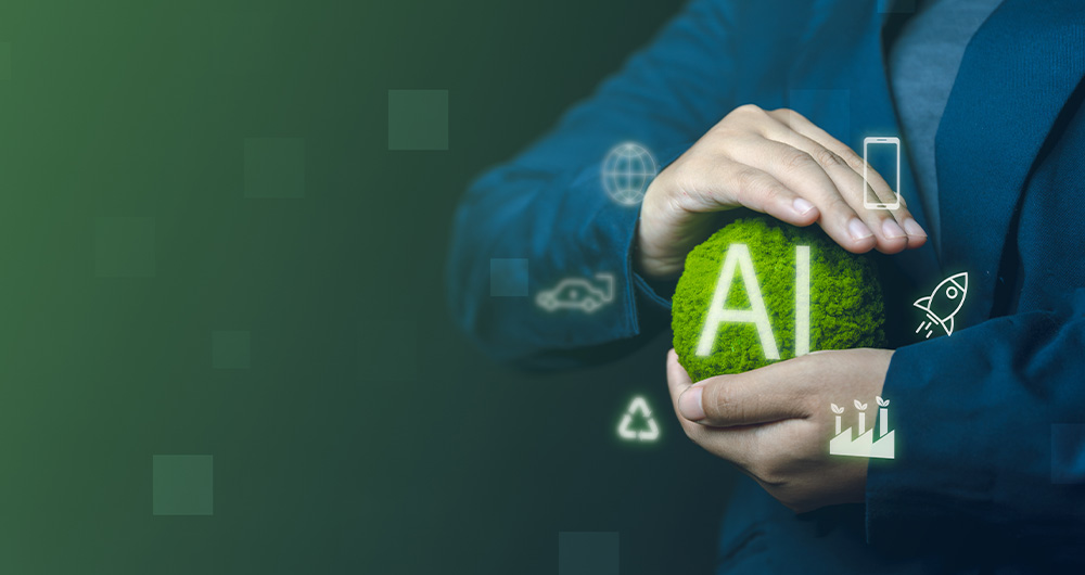
Sustainable artificial intelligence: how to minimise the environmental impact of AI
Artificial intelligence (AI) has become a key technology in multiple sectors, from health and education to industry and environmental management, not to mention the number of citizens who create texts, images or videos with this technology for their own personal enjoyment. It is estimated that in Sp…
Exploring space from the ground: open satellite data in Europe and its applications
The value of open satellite data in Europe
Satellites have become essential tools for understanding the planet and managing resources efficiently. The European Union (EU) has developed an advanced space infrastructure with the aim of providing real-time data on the environment, navigation and meteor…

Environmental data spaces: key to the success of the European Green Pact
The European Green Deal (Green Deal) is the European Union's (EU) sustainable growth strategy, designed to drive a green transition that transforms Europe into a just and prosperous society with a modern and competitive economy. Within this strategy, initiatives such as Target 55 (Fit for 55), which…

New geospatial data capture techniques: innovations for more efficient data governance
Geospatial data capture is essential for understanding our environment, making informed decisions and designing effective policies in areas such as urban planning, natural resource management or emergency response. In the past, this process was mainly manual and labour-intensive, based on ground mea…

Destination Earth: a digital Earth twin for a sustainable future
Today's climate crisis and environmental challenges demand innovative and effective responses. In this context, the European Commission's Destination Earth (DestinE) initiative is a pioneering project that aims to develop a highly accurate digital model of our planet.
Through this digital twin…

Digital twins: advantages and use cases in Spain
A digital twin is a virtual, interactive representation of a real-world object, system or process. We are talking, for example, about a digital replica of a factory, a city or even a human body. These virtual models allow simulating, analysing and predicting the behaviour of the original element, wh…

How Google, Moovit and Citymapper reuse open mobility data
Many people use apps to get around in their daily lives. Apps such as Google Maps, Moovit or CityMapper provide the fastest and most efficient route to a destination. However, what many users are unaware of is that behind these platforms lies a valuable source of information: open data. By reusing p…
