15 posts found
Open Data Editor: discover the free and open source tool for processing data
How many times have you had a dataset in your hands that you needed to analyze, but you've run into errors, inconsistencies, or formatting issues that have caused you to lose hours of work? The reality is that, although we have more data available every day, we do not always have the necessary tools…
Thinking Out Loud: Prompts to Simulate Human Reasoning with AI
In the usual search for tricks to make our prompts more effective, one of the most popular is the activation of the chain of thought. It consists of posing a multilevel problem and asking the AI system to solve it, but not by giving us the solution all at once, but by making visible step by step the…

Evaluate to trust: the key role of validation and open data in generative AI
Generative artificial intelligence is beginning to find its way into everyday applications ranging from virtual agents (or teams of virtual agents) that resolve queries when we call a customer service centre to intelligent assistants that automatically draft meeting summaries or report proposals in…

Benefits and opportunities of public initiatives for open data visualisation
Imagine you want to know how many terraces there are in your neighbourhood, how the pollen levels in the air you breathe every day are evolving or whether recycling in your city is working well. All this information exists in your municipality's databases, but it sits in spreadsheets and technical d…

Open data for navigating cities
Open data can transform how we interact with our cities, offering opportunities to improve quality of life. When made publicly available, they enable the development of innovative applications and tools that address urban challenges, from accessibility to road safety and participation.
Real-time inf…

Open geographic data applications of the National Centre for Geographic Information (NICHD)
The National Centre for Geographic Information publishes open geospatial data from the National Cartographic System, the National Geographic Institute and other organisations through web applications and mobile applications to facilitate access to and consultation of geographic data by citizens.
Geo…

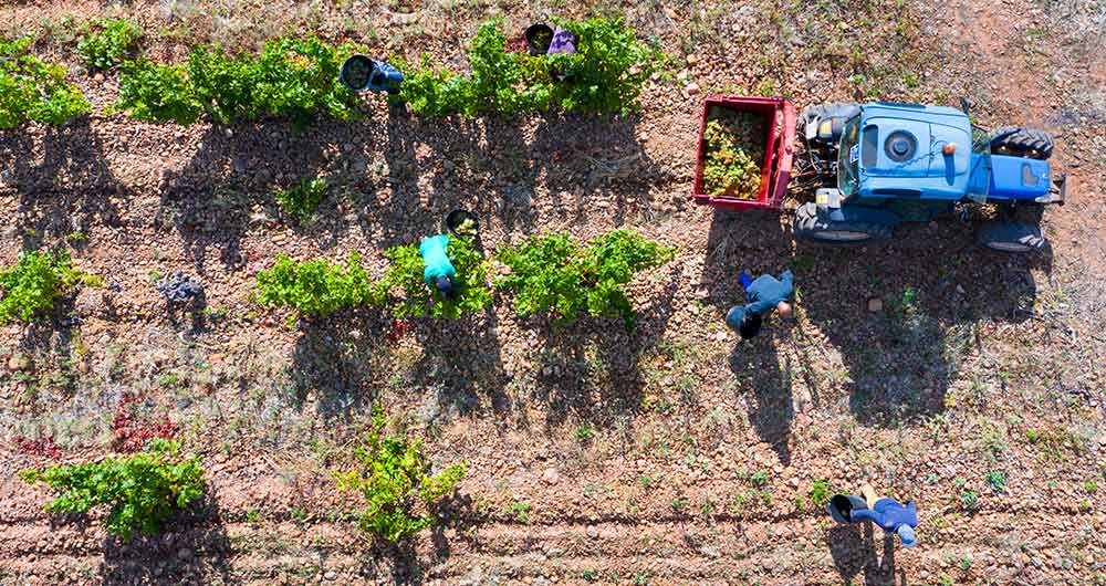
The benefits of open data in the agriculture and forestry sector: the case of Fruktia and Arbaria
As in other industries, digital transformation is helping to change the way the agriculture and forestry sector operates. Combining technologies such as geolocation or artificial intelligence and using open datasets to develop new precision tools is transforming agriculture into an increasingly tech…
Hackathons, a new way of attracting talent
Technology is now an essential component of our daily lives. It is no secret that a large number of companies worldwide have been making significant investments in order to digitize their processes, products or services and thus offer greater innovation in them.
All this has led to an increase in th…

Copernicus, the European Earth Observation Program
Geospatial data is one of the data categories most demanded by organizations, companies and citizens. The new European regulation on open data and reuse of public sector information considers them as high-value data, due to its ability to boost innovative services and generate socio-economic benefit…
The agroclimatic information system for irrigation (SiAR)
The data generated by the agroclimatic stations maintained by the different public administrations and integrated into the Agroclimatic Information System for Irrigation (SiAR) generate valuable open data sets for the agricultural sector. These data, combined with other open data sets, such as weath…