11 posts found
The importance of data training for public sector workers
There is no doubt that digital skills training is necessary today. Basic digital skills are essential to be able to interact in a society where technology already plays a cross-cutting role. In particular, it is important to know the basics of the technology for working with data.
In this context, p…

GeoParquet 1.0.0: new format for more efficient access to spatial data
Cloud data storage is currently one of the fastest growing segments of enterprise software, which is facilitating the incorporation of a large number of new users into the field of analytics.
As we introduced in a previous post, a new format, Parquet, has among its…

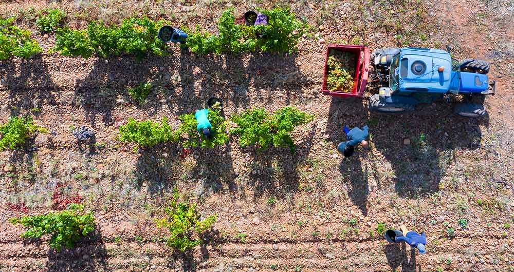
The benefits of open data in the agriculture and forestry sector: the case of Fruktia and Arbaria
As in other industries, digital transformation is helping to change the way the agriculture and forestry sector operates. Combining technologies such as geolocation or artificial intelligence and using open datasets to develop new precision tools is transforming agriculture into an increasingly tech…
How are we addressing the shortage in professional competencies for working with data?
Over the last decade we have seen how national and international institutions, as well as national governments and business associations themselves have been warning about the shortage of technological profiles and the threat this poses to innovation and growth. This is not an exclusively European p…

Why should you use Parquet files if you process a lot of data?
It's been a long time since we first heard about the Apache Hadoop ecosystem for distributed data processing. Things have changed a lot since then, and we now use higher-level tools to build solutions based on big data payloads. However, it is important to highlight some best practices related to ou…
Education through MooCs
During the second quarter of 2020, humanity was forced to improvise a large-scale experiment in distance education due to the need to close schools at all levels to help contain the spread of the COVID-19 pandemic. Like many other sectors and activities, whose face-to-face formula has been abruptly…

Copernicus, the European Earth Observation Program
Geospatial data is one of the data categories most demanded by organizations, companies and citizens. The new European regulation on open data and reuse of public sector information considers them as high-value data, due to its ability to boost innovative services and generate socio-economic benefit…
The agroclimatic information system for irrigation (SiAR)
The data generated by the agroclimatic stations maintained by the different public administrations and integrated into the Agroclimatic Information System for Irrigation (SiAR) generate valuable open data sets for the agricultural sector. These data, combined with other open data sets, such as weath…
The transversality of open climate data
Humans have been interested in weather prediction for several millennia. This interest goes back at least until the Babylonian civilization, when meteorological predictions were already made based on astrology and the clouds patterns. However, it was in the early twentieth century when decisive prog…

Technologies that boost the precision forestry industry
The forest industry, as defined by FAO, include all economic activities that mostly depend on the production of goods and services from forests. This is an industry that, in many cases, has been seen as destructive to the environment due to its relationship with the tree felling. However, in almost…
