17 posts found
Building footprints: open data that saves lives in emergencies
In a world increasingly exposed to natural hazards and humanitarian crises, accurate and up-to-date geospatial data can make the difference between effective response and delayed reaction. The building footprints, i.e. the contours of buildings as they appear on the ground, are one of the most valua…

10 principles for web development and web API design
Web API design is a fundamental discipline for the development of applications and services, facilitating the fluid exchange of data between different systems. In the context of open data platforms, APIs are particularly important as they allow users to access the information they need automatically…

Open geographic data applications of the National Centre for Geographic Information (NICHD)
The National Centre for Geographic Information publishes open geospatial data from the National Cartographic System, the National Geographic Institute and other organisations through web applications and mobile applications to facilitate access to and consultation of geographic data by citizens.
Geo…

How to measure carbon footprint using open data
The carbon footprint is a key indicator for understanding the environmental impact of our actions. It measures the amount of greenhouse gas emissions released into the atmosphere as a result of human activities, most notably the burning of fossil fuels such as oil, natural gas and coal. These gases,…

What is the value of open geographic data?
Geographic data allow us to learn about the world around us. From locating optimal travel routes to monitoring natural ecosystems, from urban planning and development to emergency management, geographic data has great potential to drive development and efficiency in multiple economic and social area…

Overcoming Data Publishing Challenges with Linked Data Event Streams (LDES)
What challenges do data publishers face?
In today's digital age, information is a strategic asset that drives innovation, transparency and collaboration in all sectors of society. This is why data publishing initiatives have developed enormously as a key mechanism for unlocking the potential of this…

Accelerating the energy transition with open data
Aspects as relevant to our society as environmental sustainability, climate change mitigation or energy security have led to the energy transition taking on a very important role in the daily lives of nations, private and public organisations, and even in our daily lives as citizens of the world. Th…

Re3gistry: facilitating the semantic interoperability of data
The INSPIRE (Infrastructure for Spatial Information in Europe) Directive sets out the general rules for the establishment of an Infrastructure for Spatial Information in the European Community based on the Infrastructures of the Member States. Adopted by the European Parliament a…

Chat GPT-3 API The Gateway to Integrations
We continue with the series of posts about Chat GPT-3. The expectation raised by the conversational system more than justifies the publication of several articles about its features and applications. In this post, we take a closer look at one of the latest news published by openAI related to Chat GP…

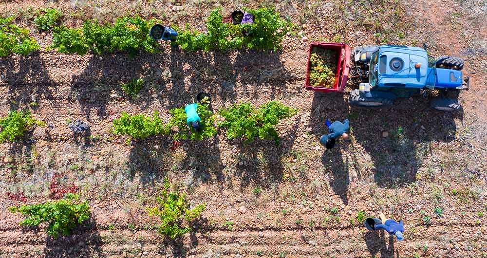
The benefits of open data in the agriculture and forestry sector: the case of Fruktia and Arbaria
As in other industries, digital transformation is helping to change the way the agriculture and forestry sector operates. Combining technologies such as geolocation or artificial intelligence and using open datasets to develop new precision tools is transforming agriculture into an increasingly tech…